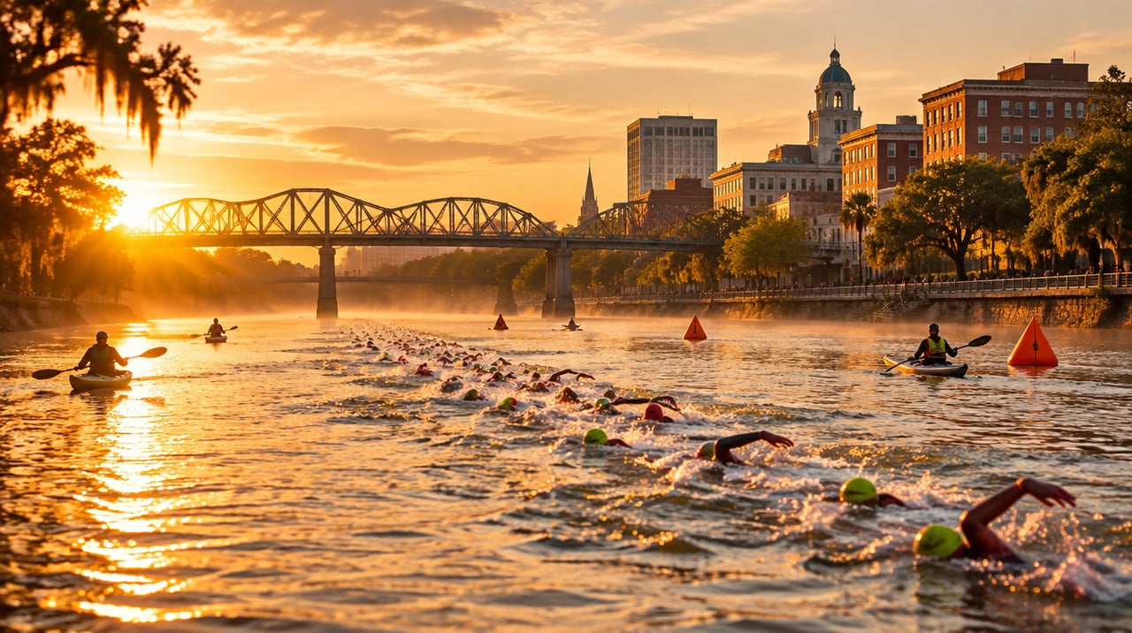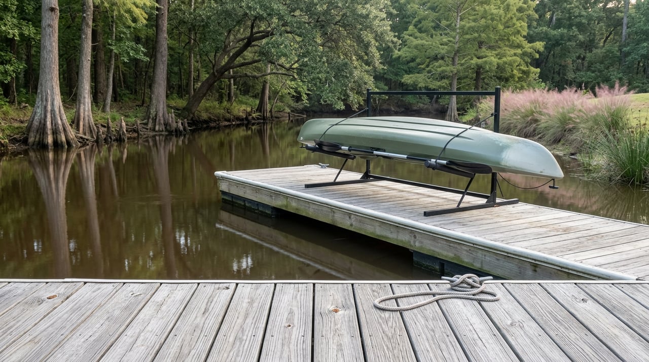
If you live in River Island, you already know the routine. Grab the kayak from the community stand, walk it down to the dock, and slide into water that barely ripples. The lodge's outdoor fireplace glows behind you if it's evening. The current is so gentle you could paddle with a coffee in one hand. It's a good ten minutes.
It is also, if you're honest, the same ten minutes every time.
The dock is not the destination. It's the on-ramp. The interesting water, the kind with current, wildlife, and actual history attached to it, sits fifteen to twenty minutes away at three or four put-ins that most residents drive past without stopping. Here's the circuit that makes the dock feel like the warm-up it actually is.
What Your Dock Actually Gives You
River Island earned its calm water honestly. The neighborhood began in 2004 when developer Vic Mills set out to build an environmentally conscious community where the Savannah River meets Jones Creek, and by 2009 that vision became permanent when the Central Savannah River Land Trust accepted a conservation easement protecting three miles of shoreline for good. That's why the stretch behind your house stays quiet: it's not an accident of geography, it's a legal commitment that nobody can develop it out from under you.
What that easement buys you is unhurried water perfect for a float, a sunset paddle, or teaching a kid to hold a paddle for the first time. What it doesn't buy you is variety. No current to work against, no wildlife spectacle beyond the occasional heron, no story to tell when someone asks how the paddle was. For that, you need to leave the easement.
Fifteen Minutes Upriver, the Water Changes Character
Savannah Rapids Park sits at 3300 Evans-to-Locks Road, close enough that it barely counts as a drive. From there, the Stallings Island loop runs 2.7 miles through protected water that Columbia County's tourism office recommends for paddlers with some experience under their belt, not beginners.
The island itself is the reason to go. It's protected, which means you stay in your boat the entire loop, and it happens to be the site where archaeologists found some of the oldest known Native American pottery in the region. It's also, somewhat improbably, home to a resident population of wild donkeys and goats that the county explicitly invites paddlers to observe from the water. There is no equivalent to this at your dock. There isn't an equivalent to this most places.
Otters and Osprey Are a Short Drive, Not a Backyard Feature
Riverside Park in Evans is the launch point for Betty's Branch, a four-mile route with a concrete ramp and enough parking that you're not circling for a spot on a Saturday morning. The short loop runs about two hours. The long loop stretches to three and a half. Either way, this is the route locals paddle specifically for wildlife: osprey working the banks, turtles sunning on downed logs, and otters that show up often enough that they've become part of the trip's reputation rather than a lucky sighting.
None of this requires whitewater skills. It requires driving past your own dock to a different stretch of the same river system.
The Canal Route Turns a Paddle Into a History Lesson
The Augusta Canal route, also accessed from Savannah Rapids Park, runs seven miles with a current steady enough to carry most paddlers to the finish in about two and a half hours. Along the way you pass headgates, locks, and mill structures dating to the mid-1800s before the route empties near Olmsted Lake close to downtown Augusta.
This is the paddle you do when you want the trip to feel like it went somewhere, not just around. It's also the only route on this list where the destination is a downtown skyline instead of a wildlife sighting.
Here's how the four routes actually compare once you line them up:
Route | Launch Point | Distance | Typical Time | What You're There For |
|---|---|---|---|---|
River Island dock | Your own community dock | Not a marked route | 10 to 30 minutes | Calm water, sunset, zero planning |
Stallings Island loop | Savannah Rapids Park | 2.7 miles | About 2 hours | Wild donkeys, goats, protected Native American site |
Betty's Branch | Riverside Park, Evans | 4 miles | 2 to 3.5 hours | Otters, osprey, turtles |
Augusta Canal | Savannah Rapids Park | 7 miles | About 2.5 hours | Historic locks, headgates, downtown finish |
Clarks Hill Lake | Wildwood Park | 6 miles | 4 to 6 hours | Open water, bass fishing, sandy stops |
The Passport That Turns This Into a Habit
Columbia County didn't leave this circuit disconnected. The Serene18 Paddle Trail links all five routes, including Clarks Hill Lake and its dam route, into a single passport program. Paddle a route, get it stamped at the designated location, and once you've collected all five, the Visit Columbia County office at 3300 Evans-to-Locks Road in Martinez hands over a free t-shirt. It's a small incentive, but it's also a useful way to force yourself through routes you'd otherwise never get around to trying.
If you own a boat, this is just a matter of showing up. If you don't, the county's paddle infrastructure has grown to cover that too. Savannah Rapids Kayak Rentals sits inside Savannah Rapids Park itself, making it the obvious stop before either the Stallings Island loop or the Canal route. Outdoor Augusta operates out of Riverside Park, right where the Betty's Branch route begins. Keg Creek Watersports handles rentals at Wildwood Park for anyone tackling Clarks Hill Lake. And if you'd rather have someone else worry about navigation, Cole Watkins Tours runs guided trips across both the river and canal routes.
The Clubhouse Connection
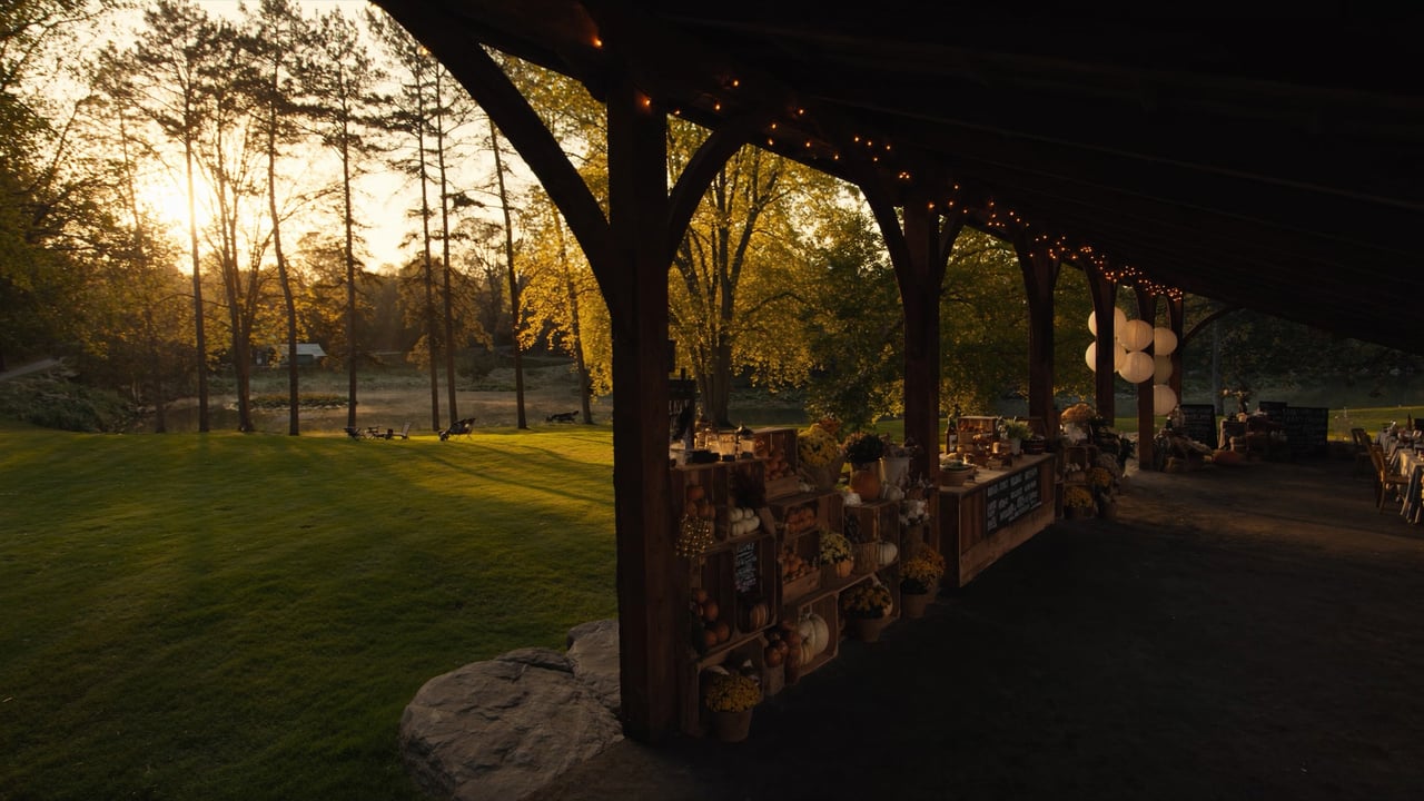
Here's where the circuit loops back to River Island itself. The same Land Trust that holds the conservation easement protecting your stretch of shoreline has for years hosted its clubhouse fundraiser inside River Island, the building with the outdoor fireplace at the edge of Grand Park. It's not a coincidence. The neighborhood's founding identity as a conservation community and the wider paddle network that runs through Columbia County share the same organization working to keep both intact.
That's the part most people miss when they think about River Island as a place with a nice dock. The dock is downstream of a decision made in 2009 to protect this shoreline permanently, and that same protective instinct is what keeps Stallings Island's donkeys undisturbed, Betty's Branch stocked with otters, and the canal's 1800s locks standing. Your evening float and the county's five-route passport system are connected by more than proximity. They're connected by the same conservation infrastructure, and River Island's clubhouse is one of the places that infrastructure gets funded.
If you've only ever paddled from your own dock, you've experienced the calmest, least interesting part of a system built for variety. The rest of it is closer than you think, and most of it doesn't require anything you don't already own.
For more on how River Island's trails, water access, and conservation footprint shape daily life here, our outdoor lover's guide to the neighborhood covers the land-based side of that same story, and our River Island neighborhood page has the full picture for anyone comparing communities along this stretch of the Savannah.
Whether you're paddling from your own dock this weekend or finally driving up to Stallings Island to see about those donkeys, it helps to know the neighborhood behind you as well as you know the water in front of you. If you're weighing a move within River Island, or wondering what your home's location on that shoreline might mean for its value, The Fairey Team puts together a free home marketing plan built on exactly this kind of local detail, because knowing where the good paddling is matters, but so does knowing where the good listing strategy is.